Services
Geoscience services, from field mapping to study delivery.
Mining and oil & gas are our primary focus. The supporting disciplines apply the same field methods to adjacent problems.
Where to start.
Mining and oil & gas each have a dedicated page. The supporting disciplines are summarised further down.
Primary focus
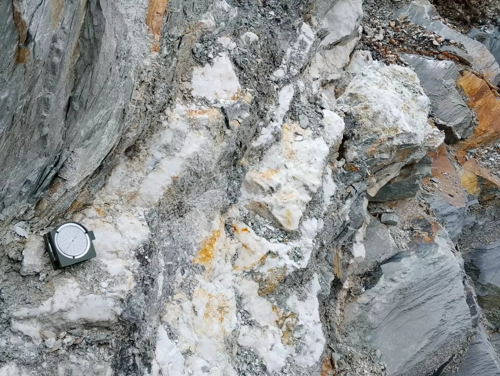
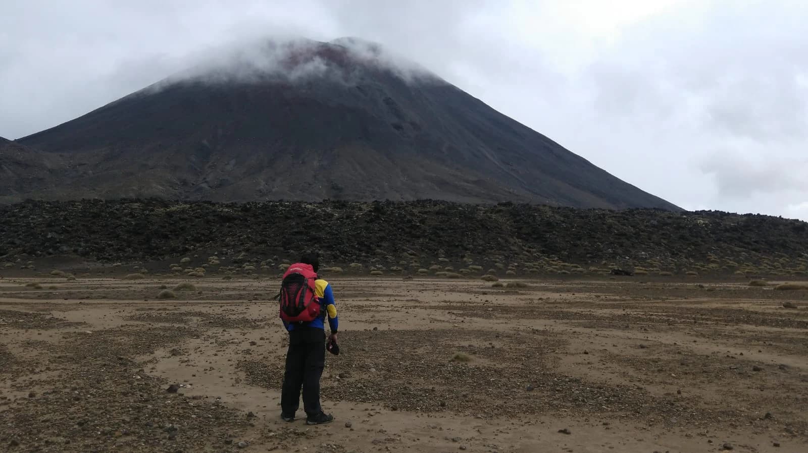
Where Orekus can support the work
Beyond the two primary disciplines, the same geoscience foundation carries engineering, environmental, geothermal, and capability-building work.
Engineering & Environment
A standalone service applying geoscience to infrastructure, ground conditions, and environmental assessment.
- Drivability analysis
- Geotechnical investigation
- Geohazard analysis
- LIDAR and topographic survey
- Environmental site assessments
Geothermal
Structure- and alteration-focused studies for geothermal systems, from remote sensing and field mapping to survey interpretation.
- Desktop review and remote sensing of geological structures and geothermal systems
- Geological and alteration mapping — lithology, stratigraphy, and structure
- Permeability analysis using structural data and borehole images to assess the state of stress
- Gravity, magnetic, and magnetotelluric survey interpretation
- Geothermal system assessment on an integrated GIS database
Supporting capability
Research, Training & Capacity Building
Applied geoscience research and field-based learning, shaped to what a team or organisation needs — for industry and government alike.
Applied geoscience research
- Hydrogeology and environmental assessment
- Mineralogy, sedimentology, and stratigraphy
- Structural geology and geohazards
- Resource appraisal and exploration support
Training and knowledge transfer
- Geological mapping and remote sensing
- GIS, subsurface interpretation, and geotechnical analysis
- Combined field and laboratory learning, with applied-geology excursions
- Mentoring, short courses, and custom workshops
- Capacity building for industry and government
Start from the situation you are in.
| Your situation | How Orekus can help |
|---|---|
| We have existing data but need an independent review. | Data validation and a second technical opinion |
| We need clearer exploration priorities. | Targeting, ranking, and exploration strategy |
| Our geological interpretations need to be reconciled. | Structural interpretation and one consistent model |
| A field programme needs clearer objectives. | Mapping, survey planning, and stage-by-stage goals |
| A team needs focused training on a method or area. | Custom workshops, mentoring, and field learning |
Discuss a technical need with Orekus.
Describe the need in a short WhatsApp message and Orekus will suggest a sensible starting point.